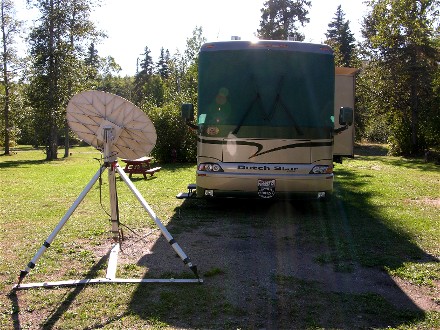
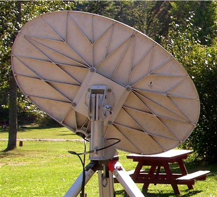
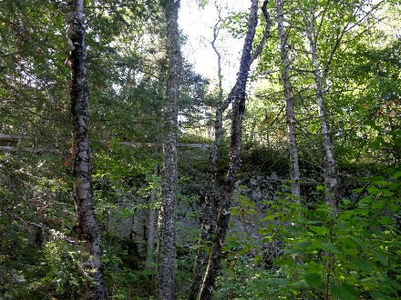
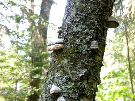
We left Thunder Bay after being there a week and headed across the northern shore of Lake Superior. We landed in Schreiber, ON after 143 miles and had internet access. The only problem was the dish was leaning against the flange of the mast stand, a known problem that is fixed with a mast 2" taller or getting a mast extension. We had a problem since these mast extensions were available in the U.S. but shipping to Canada was slow. We might not have internet access from now on since going east makes the skew (angle) larger so the problem will get worse. Here is our campsite and a close-up of the dish on the flange:
By evening two fifth wheels came in and parked on both sides of us, they were from British Columbia so Bill went out and talked to them. They were doing 900km days (550mile) and were heading to the area around Toronto. They were planning on going back to B.C. via the U.S. It turned out they hit a bad thunderstorm in Winnipeg, 80mph winds and quarter sized hail.
In the morning we found our milk had spoiled so Bill went into town and found we had crossed the line in Canada, all milk comes in packages of three 1-1/3 liter bags or 1 liter cartons, four liter plastic jugs left us at Thunder Bay.
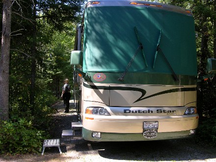
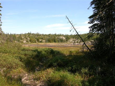
We had decided to see if we could camp at Pukaskwa National Park and went the 70 miles to try, giving us time to get further down the road if we couldn't camp. The road into the park got narrower and narrower and the main entrance was unmanned, only camping was open and you had to find the camphost. We drove into the campground and took the whole road, but found the camp host and they had a site that would fit us. We even had 30AMP electric since they have 24 hour quiet hours and do not allow generators. Here is our campsite with Diane giving Evita her walk:
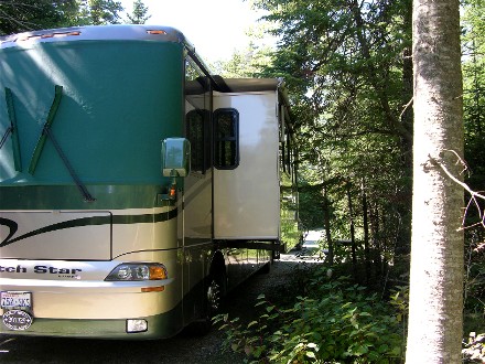
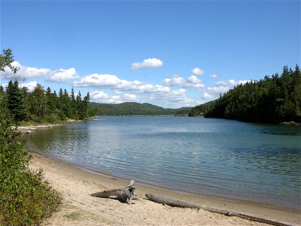
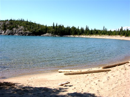
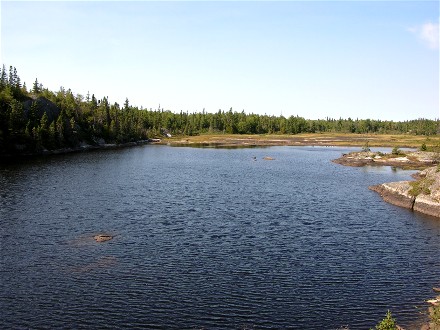
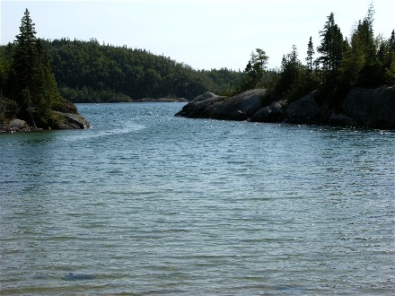
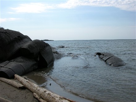
Tight spot, but long, and no way to get the satellite dish to work, but it was a very natural place. We paid for two nights and our Canadian National Parks pass saved us some money. We walked down to the water and here are pictures about 100 feet from our campsite of Hattie Cove, which is what the campground is named for:
We then checked the trail map, our campsite is about where the dotted line from "You are here" comes into the campground road:
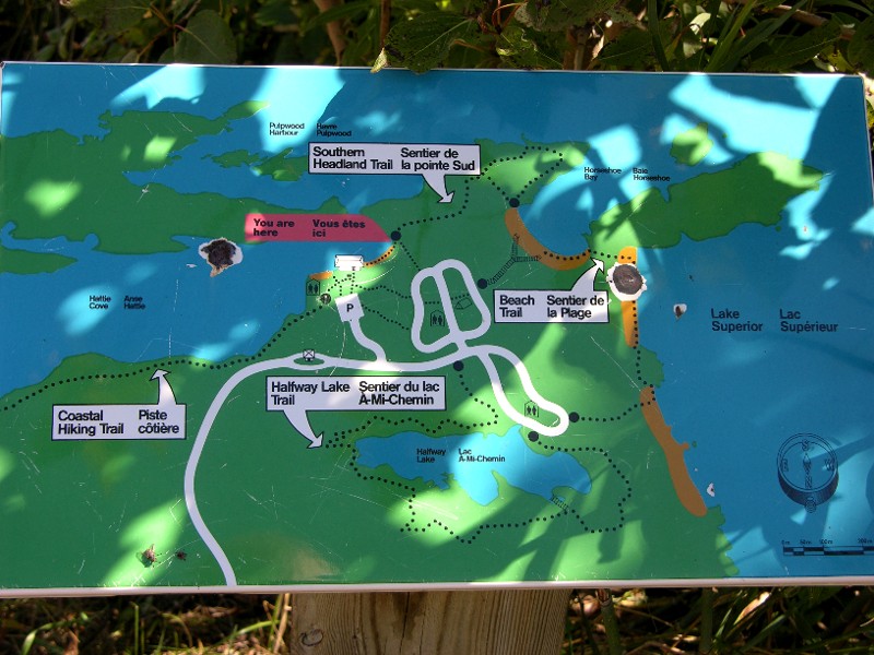
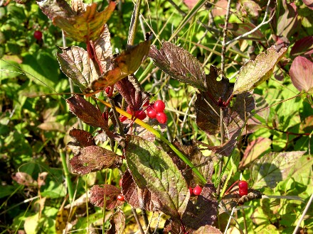
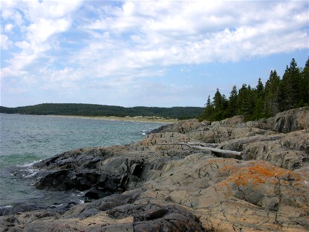
We decided to take the Southern Trail and here are eight pictures along the way:
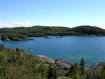
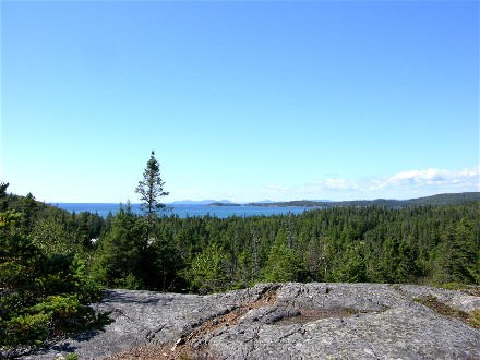
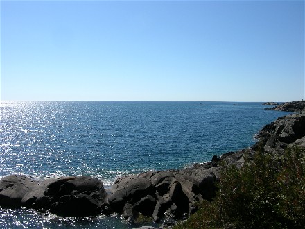
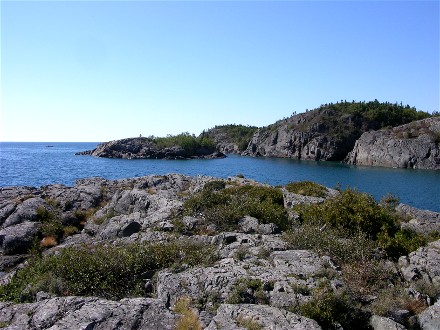
We were falling in love with the place, it was wild and so natural. Most of the park is wilderness, it has woodland caribou, it has black bears, and only this small section on the far north of the park is developed.
We drove into the town of Marathon, about 25 miles away to get some groceries including milk in bags and parts to make a mast extension for the satellite dish. We used a 2liter milk carton for our milk pitcher, since we wanted it to seal. Bill built his own mast extension and experimented with it, he determined it needed something strong like a pipe in the middle to make it stiffer.
In the morning when we got up Evita was very intently going around the drivers seat area, sniffing and looking. Bill figured a mouse had gotten in and tried to figure out where it was hiding, but didn't find anything.
We decided to take the Halfway lake trail in the morning. Rain levels were low so the lake was low. Here are pictures of our counter clockwise circling of the lake:
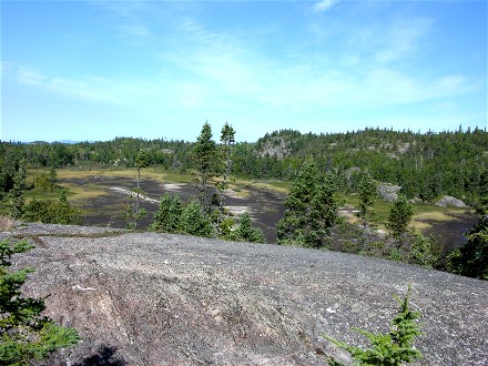
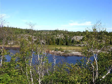
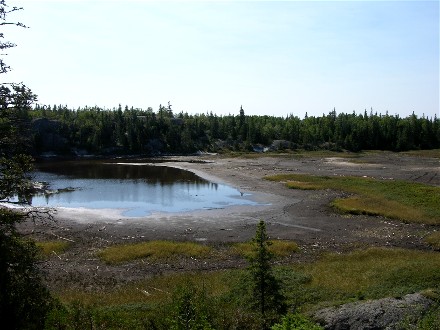
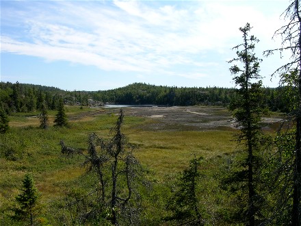
The camp host told us that in most years there are moose, herons and eagles around the lake but since it is down so much they are not around. You can see from the pictures where the lake edge is normally.
When we got back to camp Diane took Evita for a walk and as soon as she came to the driver's side of the motorhome her fur stood on end and she ran back to the door to get inside and had no interest in going out again. Bill went outside to investigate while Diane fixed lunch and Evita was very worried about Bill being outside. There were signs about a black bear in the area and from what Bill could tell it probably was hanging around by the drivers seat since the cat food was stored around that location. Diane remembered hearing something in the night that would fit a bear. We didn't have proof it was bear smell that Evita smelled, but we were fairly sure of it.
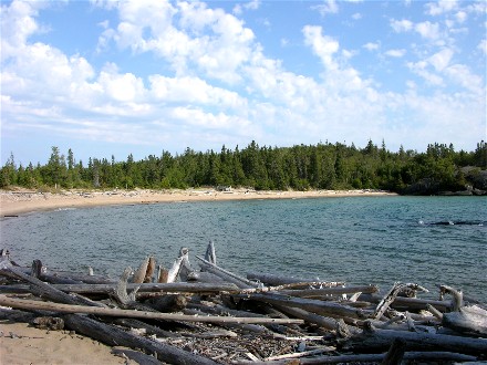
After lunch we decided to take the other trail we hadn't taken, the beach trail. The coastal hiking trail was a seven day one way trail, we will leave that for others more adventurous than we are. First we went to the visitors center area to see if there were any interesting signs since the visitors center was closed, here are a couple pictures from that trip:
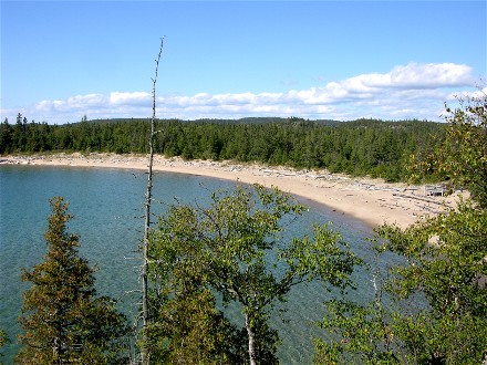
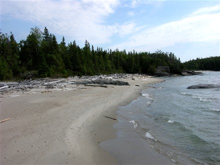
Then we took the Beach Trail:
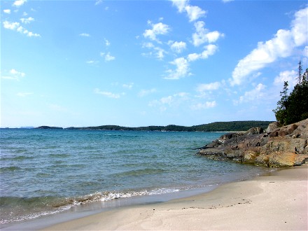
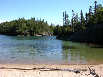
This is the other end of the beach we came to when we took the Southern Headland Trail:
When we got back Evita was glad to see us, she thought we might get eaten by the bear.
The campground was about 1/3 full and we did encounter other campers. One was real worried we would be running our generator until we pointed out we had 30AMP power, then they warmed up to us and we had many small encounters with them. Everyone thought Pukaskwa was a treasure. We were also happy the weather was nice.
In the night both Bill and Diane heard a large animal outside on the drivers side, so we were even more sure about our conclusion.