The road to Aguereberry Point is six miles of washboard gravel and is marked for high clearance vehicles. We asked Ranger Charlie if a CRV could take the road and he said we would be fine. He was right. The last 1/2 mile or so was narrow and next to a cliff, but was actually about the same roughness as the last two miles of the Charcoal Kilns road.
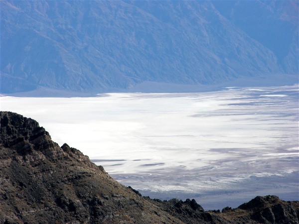
Telephoto shot of Badwater Basin:
There was a trail to the end of the point and we started on the wrong trail. Yes, this is looking down:
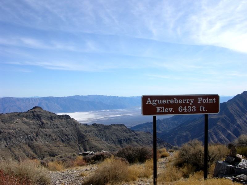
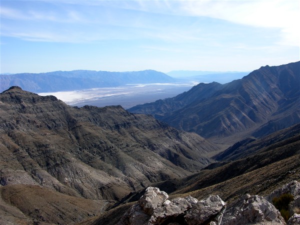
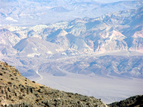
The view was good from the wrong trail:
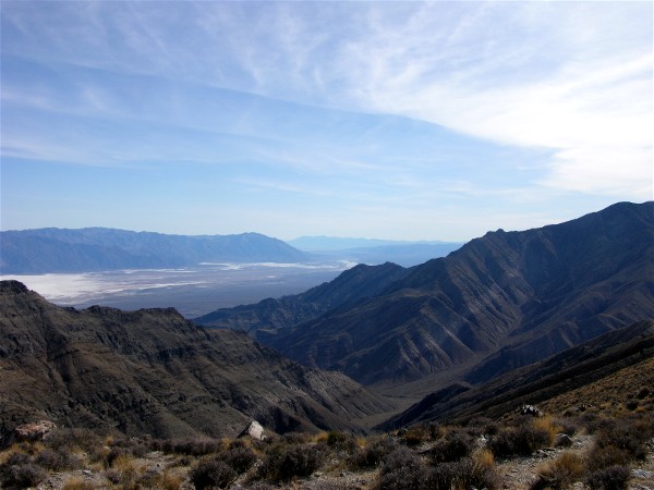
We turned around and found the real trail. It hugged the north side, here is a view looking north from the trail:
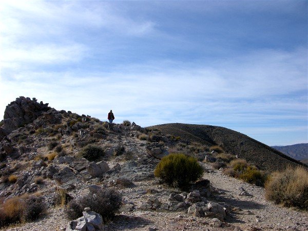
Diane coming down the trail to the point:
A telephoto shot of Artists Drive:
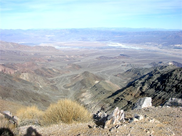
Another photo looking north:
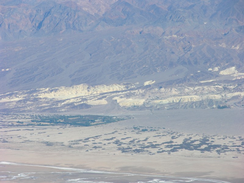
Furnace Creek area. This Furnace Creek Inn on the right and the Furnace Creek Ranch area, including the campground, on the left:
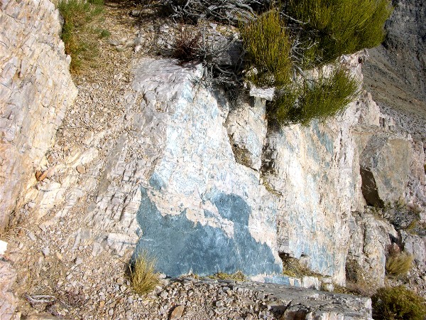
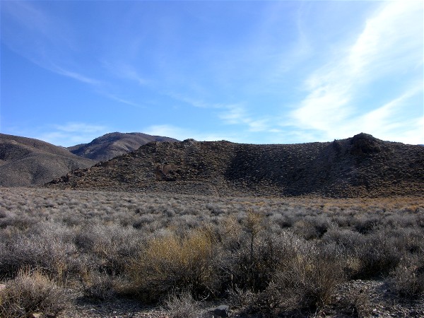
Granite rocks all around:
We stopped and had lunch in the car, it was too cold to eat outside.
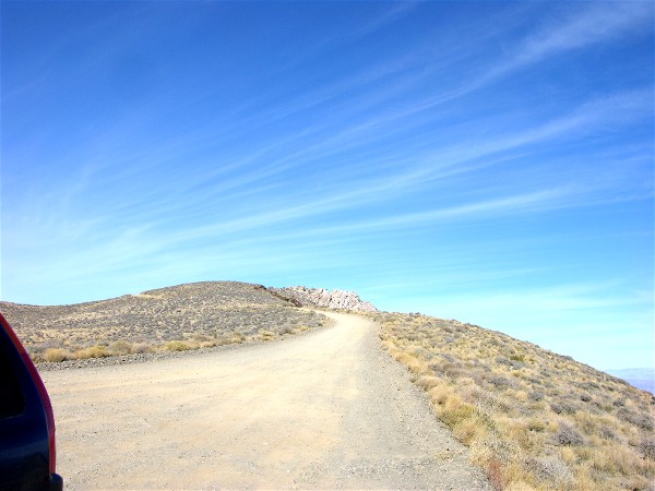
We drove to the lower viewpoint. Here is the last part of the road going up:
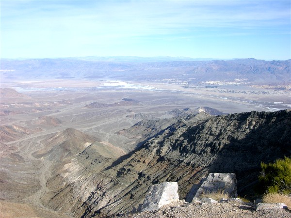
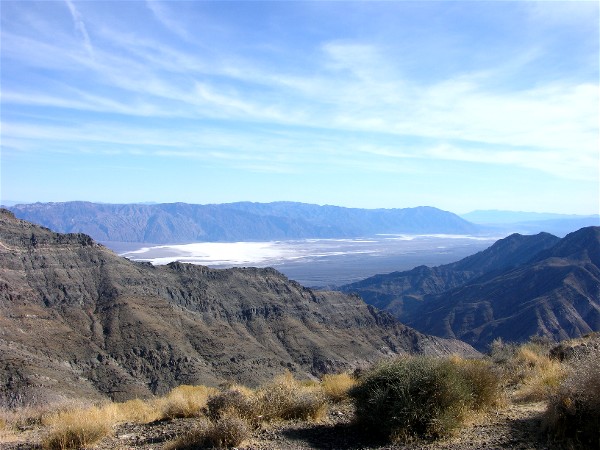
The view of Badwater Basin from the lower viewpoint shows more, including the Devils Golf Course area, the dark area on the left:
The Eureka Mine area closer to the highway:
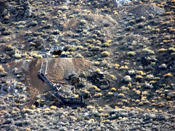
The back of the Eureka Mine. We did not take the road in and tour the mine:
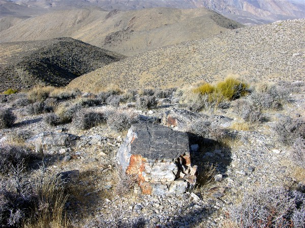
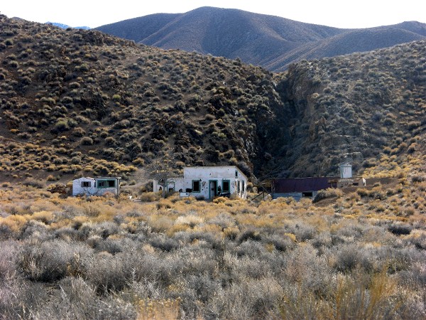
Aguereberrys Camp, where Pete Aquereberry and family lived while mining:
Once we were back on the paved road we decided we had had enough for one day of gravel roads.