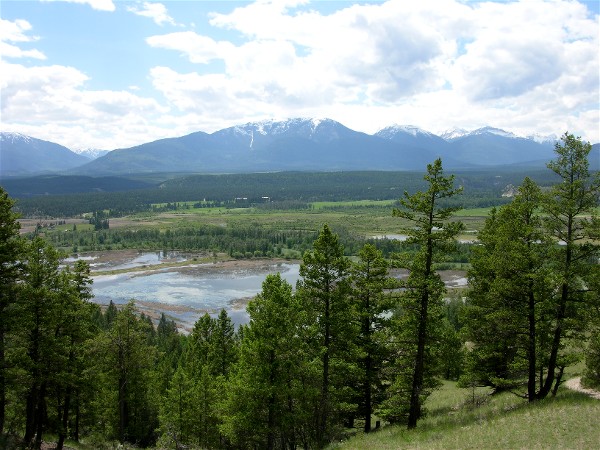
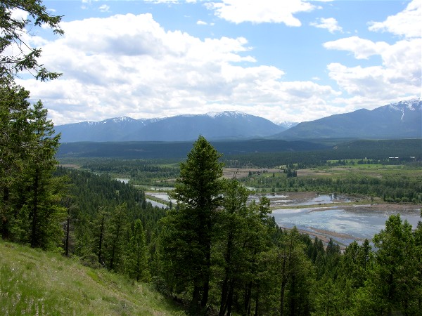
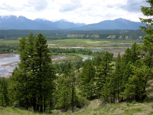
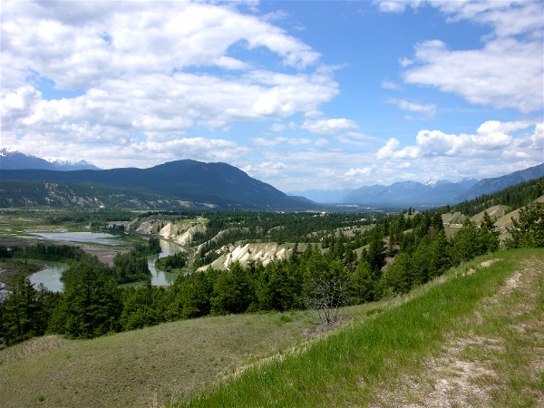
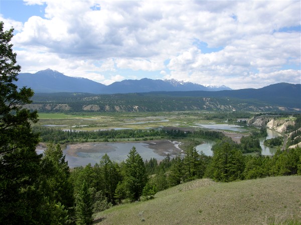
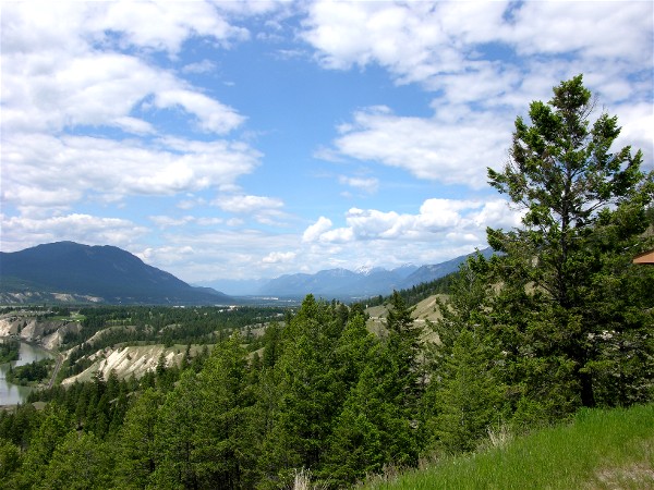
Just a couple miles south of Radium Hot Springs were some nice scenic pullouts of the Columbia River and the wetlands of the Radium Valley:
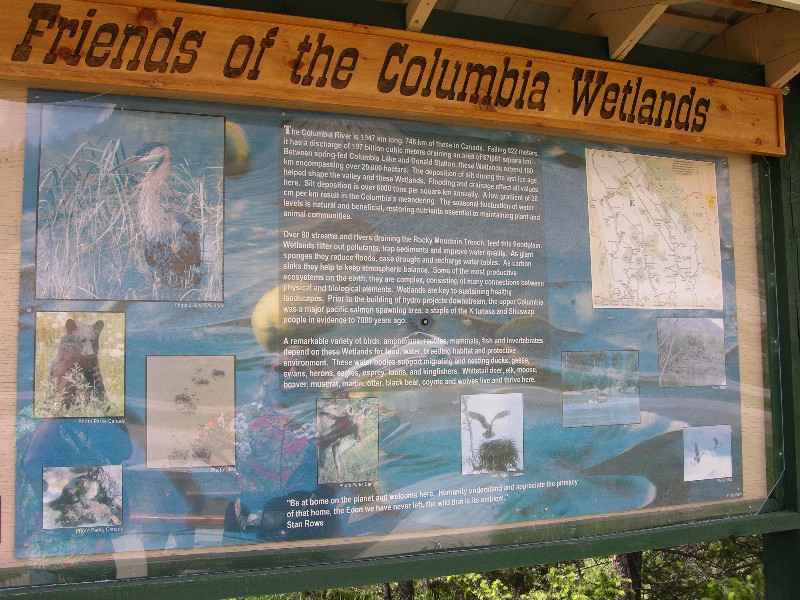
This sign explains why it is protected land:
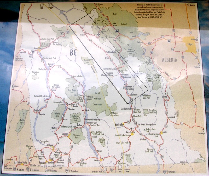
The map insert on the sign. The Columbia River starts at Canal Flats, at the bottom of the box. Only 2km from that point is the Kootenay River which flows south (and the water eventually does join the Columbia). In this area the Columbia flows north and eventually wraps to the south and comes into Eastern Washington state.
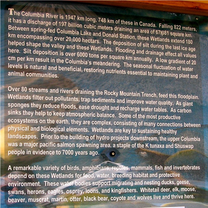
The text off the sign:
More views showing the Columbia is a lazy river with wetlands around it in this area between two mountain ranges:
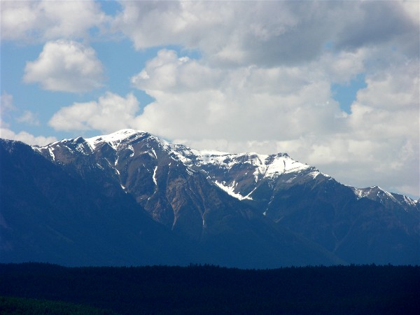
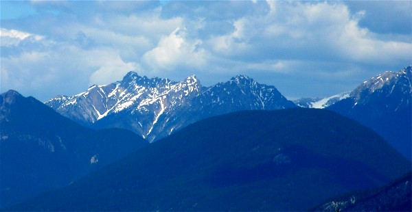
Some telephoto views of the mountains:
A lot to see from just a couple scenic viewpoints!