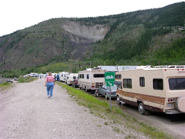
This is the RV line for the free ferry across the Yukon River. There are three lines, RV, car and permit. Permit gets on first since they are locals.
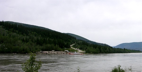
The ferry on the other side of the river:
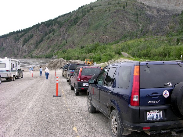
The car line next to the empty permit line:
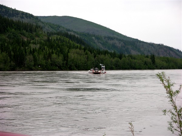
The ferry brought this tanker truck individually across the river:
We had to wait one ferry, but here is the view out the windshield from the ferry ride:

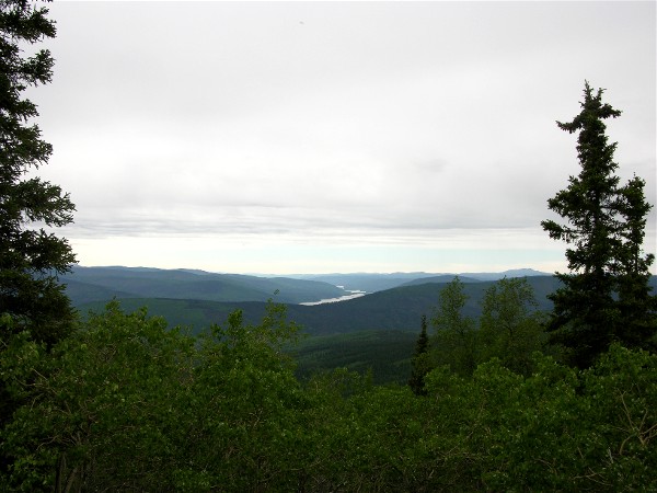
The ferry drops us at the bottom of the hill at the start of the Top of the World Highway. After going up about 3,000 feet there is a rest area with this view:
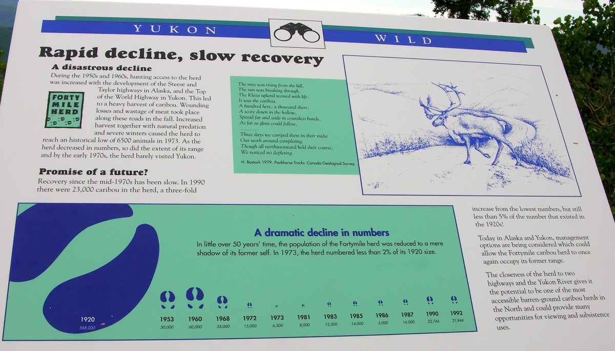
And information on the FortyMile Caribou herd:
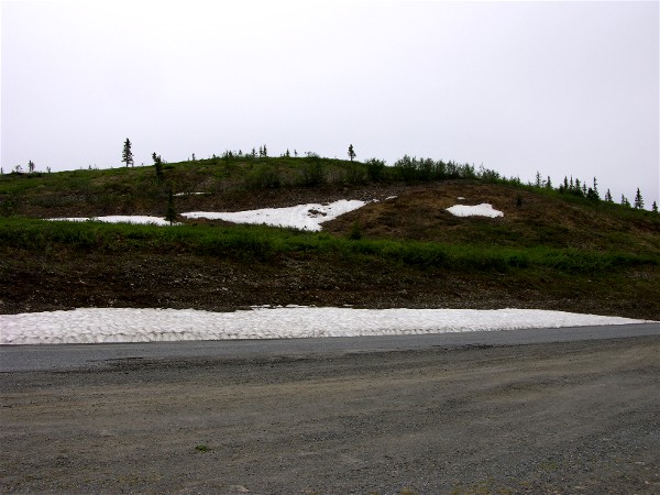
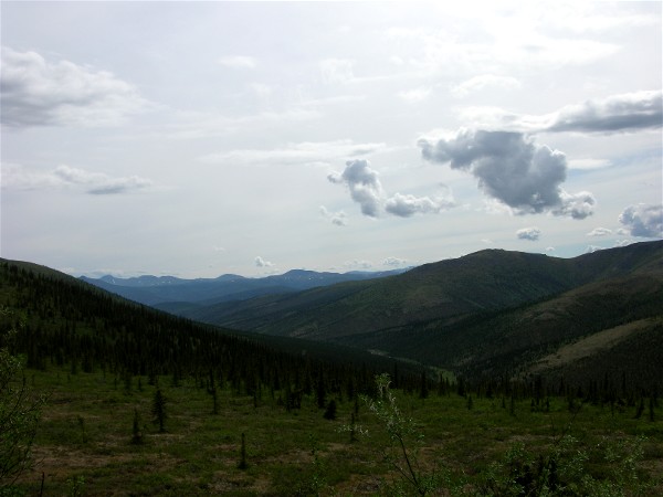
The highway is scenic and there is still snow in spots:
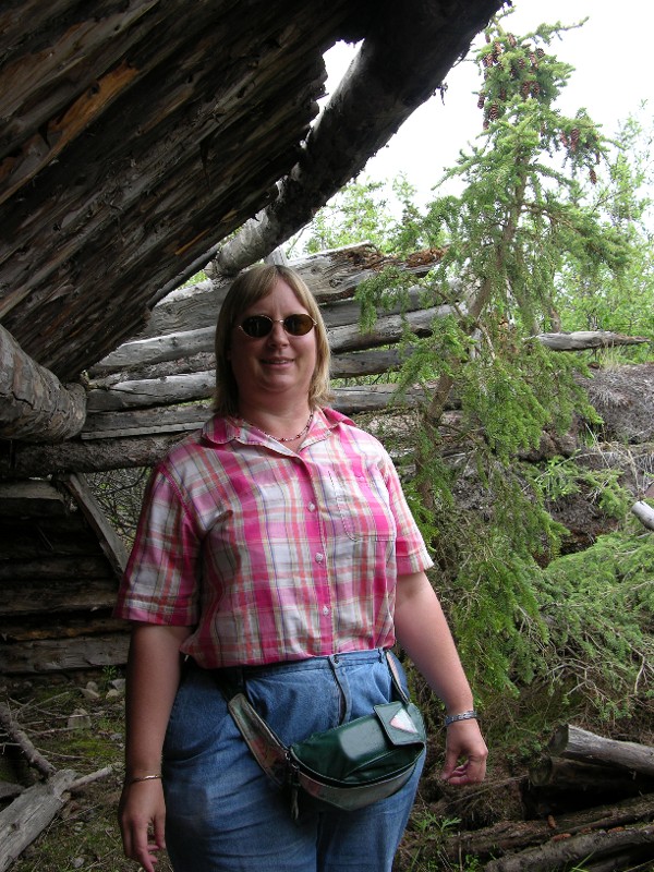
We stopped for a picnic lunch at this rest area with an old sod house:
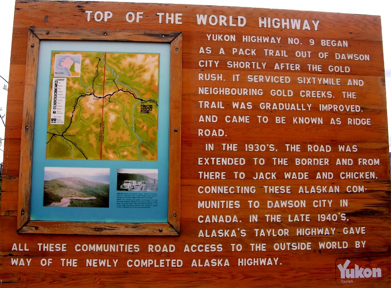
Close to the end of the Canadian side is this sign:
The border with the US, the viewpoint is at the highest part of the highway.
The Canadian highway is mostly paved and wide. On pavement we were able to comfortably run at 80km/hr (50mph) and the traffic was low enough we could avoid the potholes. On gravel sections we ran about 35-40mph.