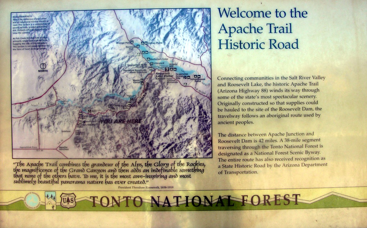
In March 2006 we drove the Apache Trail counter clockwise, going to Globe, then Roosevelt Lake, and then the Apache Trail back to Apache Junction. This is documented starting here. This trip we were going clockwise. Here is the first informational sign on the route:
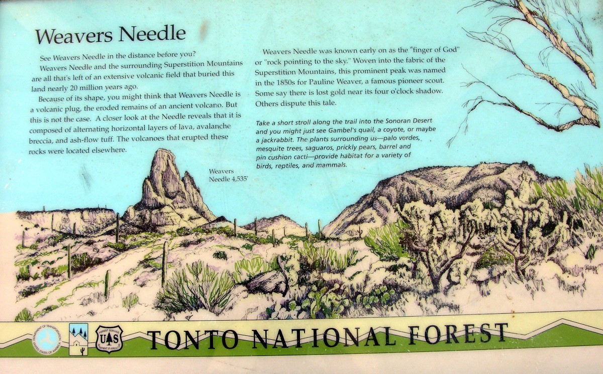
Weaver's Needle viewpoint:
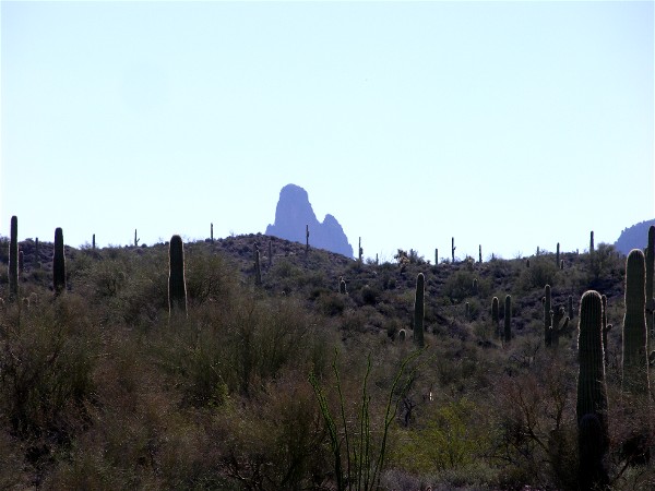
This is what you can see from the viewpoint:
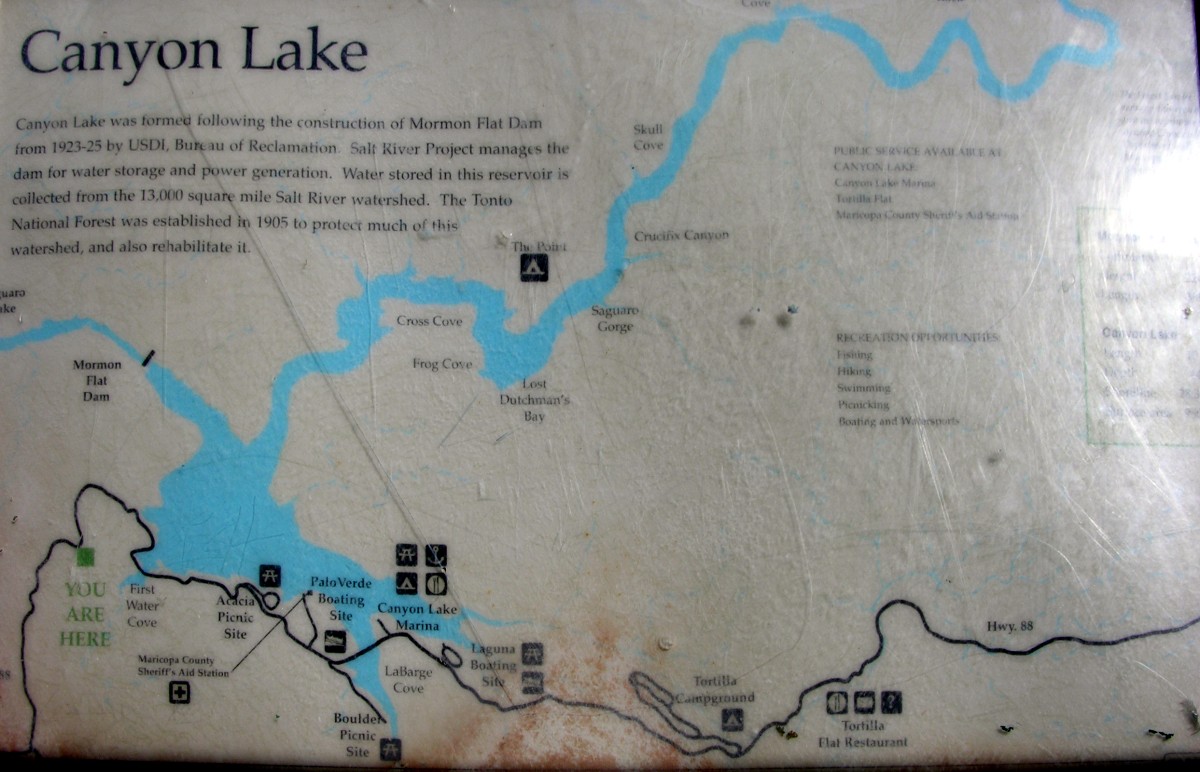
Canyon Lake:
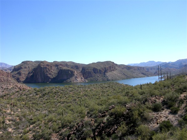
Info on Canyon Lake:
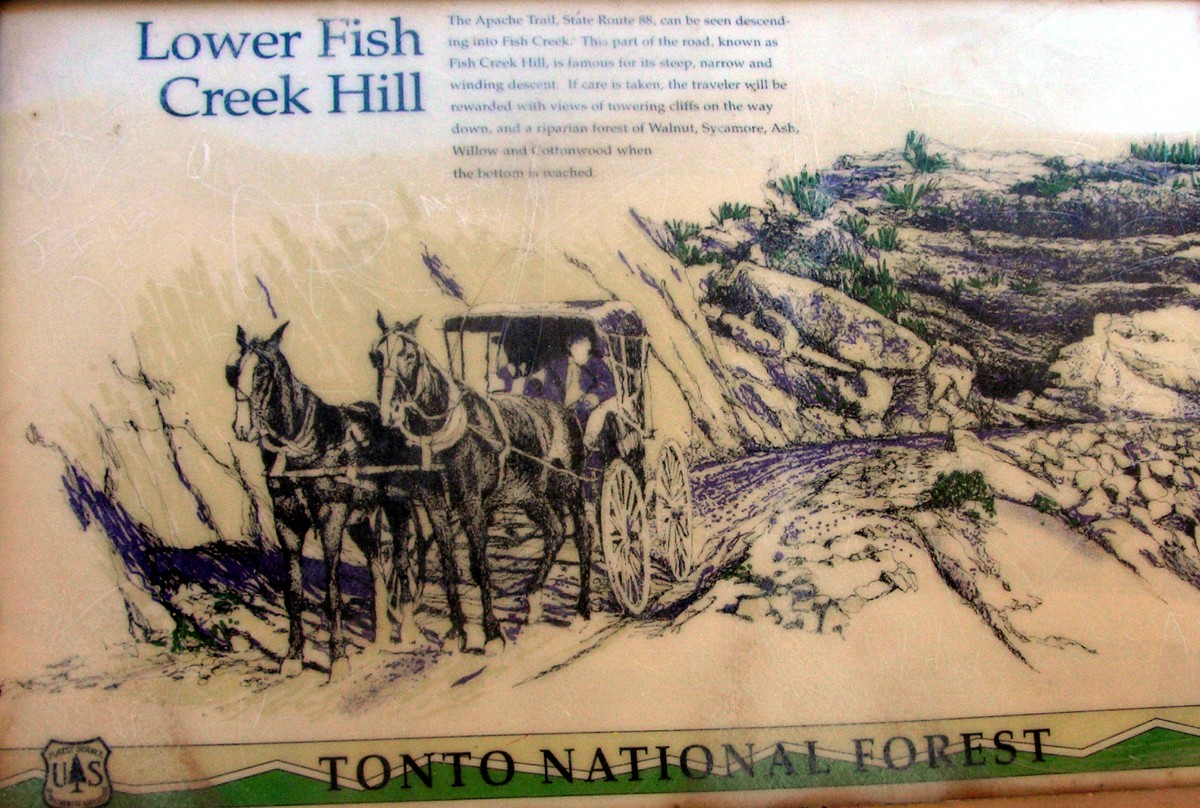
Past Canyon Lake and Tortilla Flat the road becomes 22 miles of dirt. The first viewpoint is above Lower Fish Creek Hill:
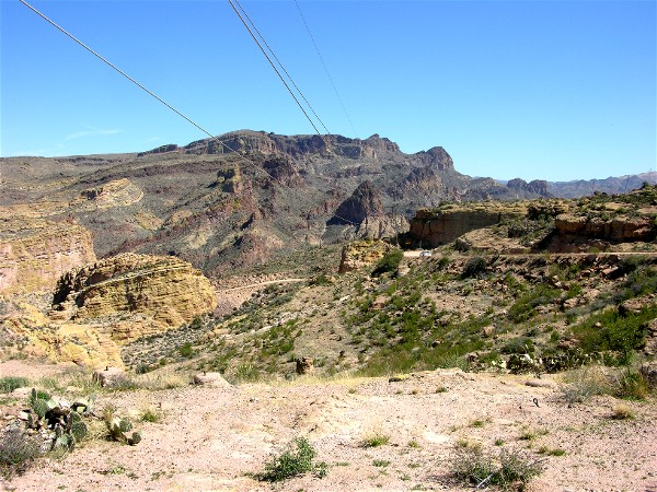
View of the road going down:
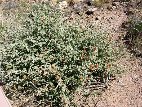
Desert mallow starting to bloom:
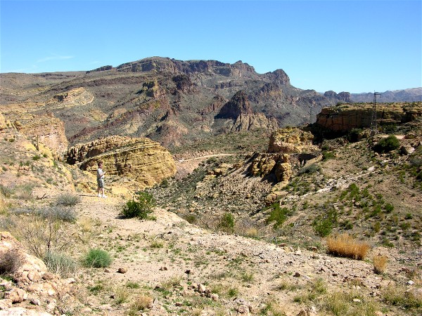
Another view of the road with a person for perspective:
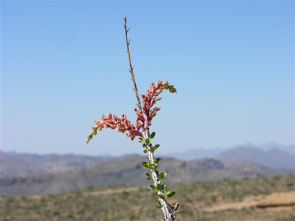
Ocotillo starting to bloom:
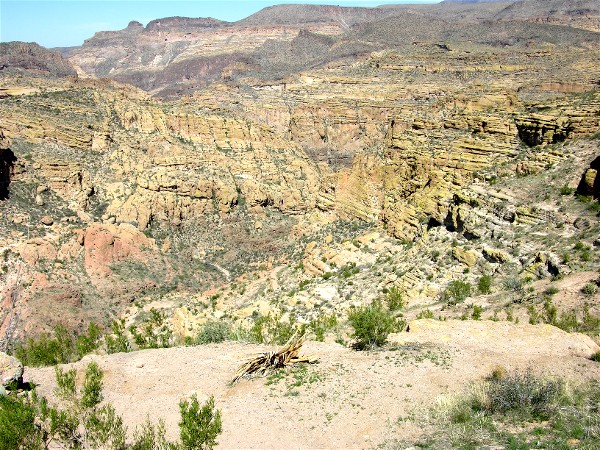
Down into a canyon:
Back Home Back to 2007 Back to Apache Junction Adventures Part 2 Part 3