Since Gregg had his Cessna at Astoria airport Diane's appointment in Mukiteo will be a combination of air and taxi. The aviation fuel and taxi fare will be more than the gas for the car, but it will be a shorter day. We certainly got started later in the morning than when we drove to Mukilteo on June 23rd.
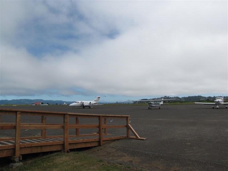
The plane at the airport.
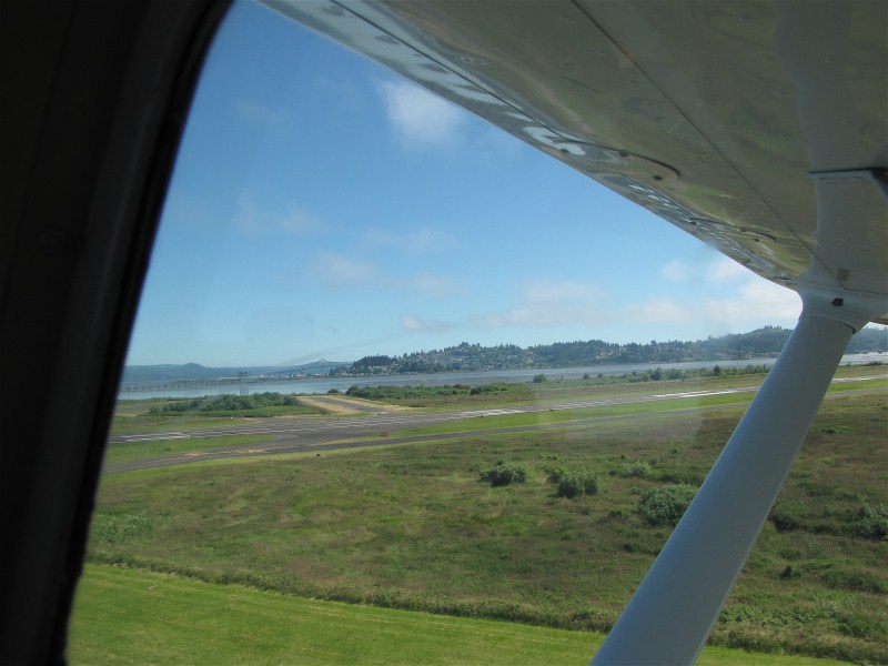
Take off.
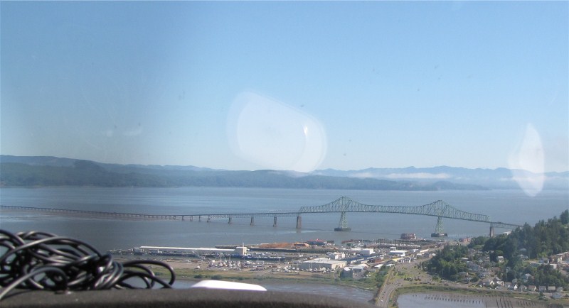
The Astoria bridge.
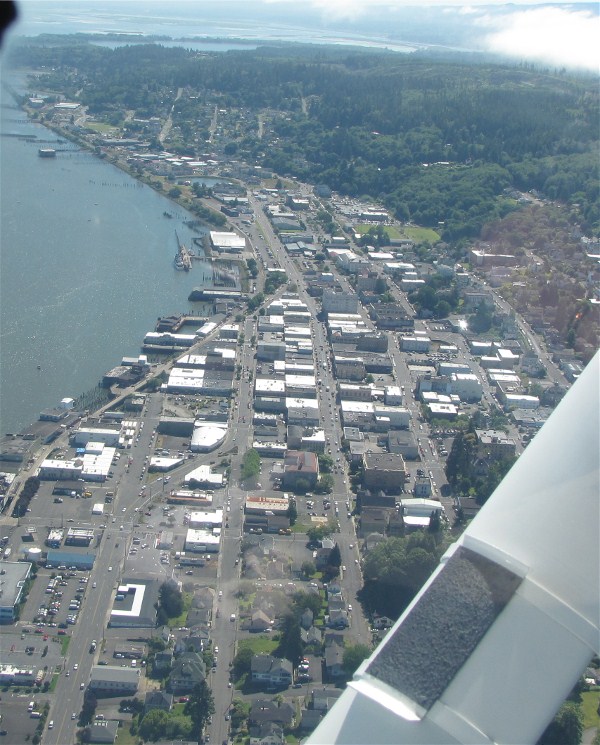
Downtown Astoria.
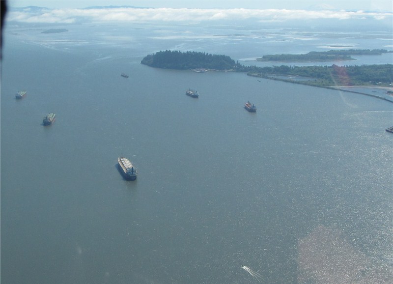
Ships waiting for pilots to take them up river.
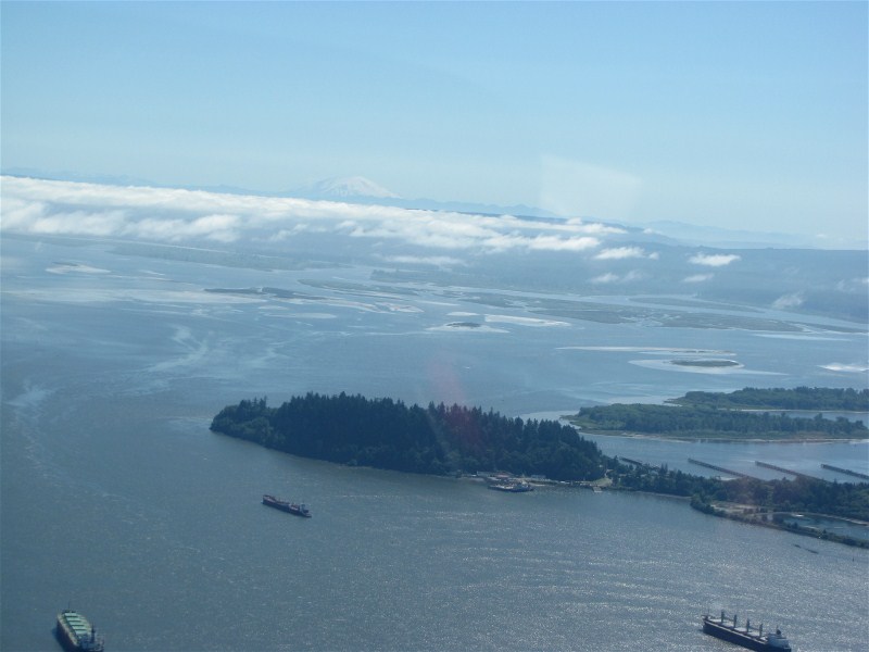
Looking east with Mount Saint Helens in the distance.
Heading north.
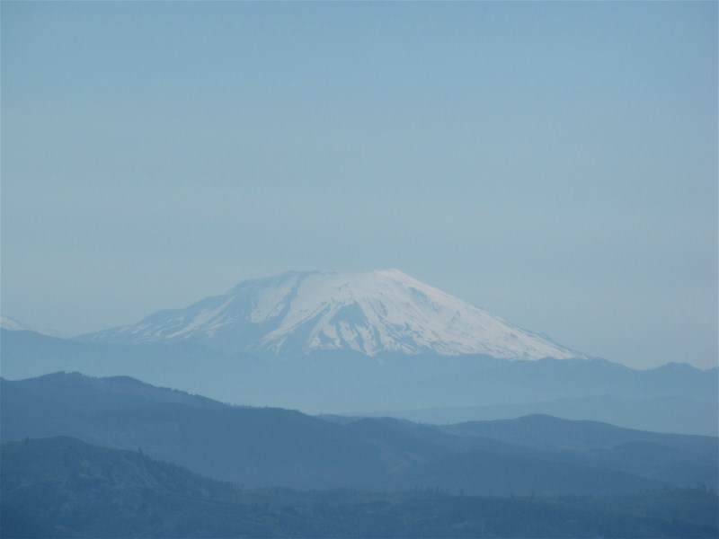
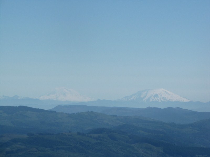
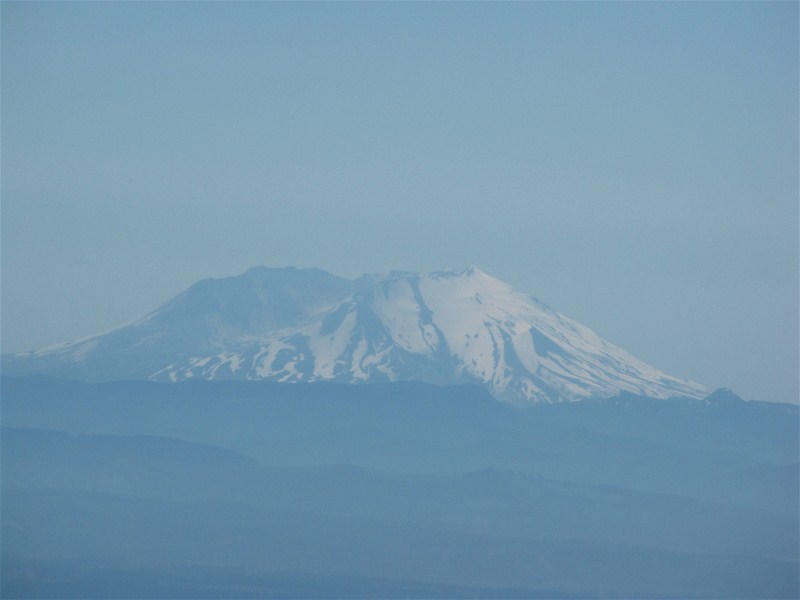
Mount Saint Helens.
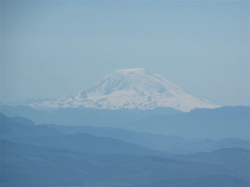
Mount Adams, on the left, behind Mount Saint Helens. Mount Adams is often not visible here.
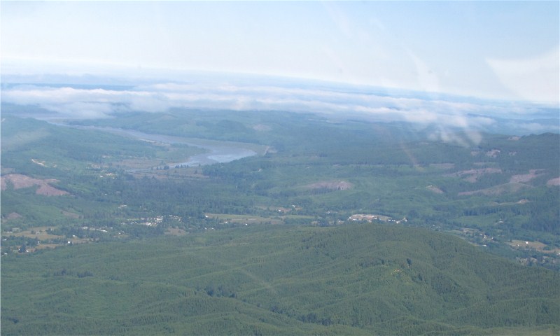
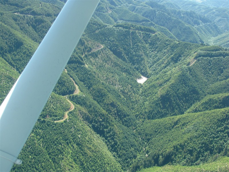
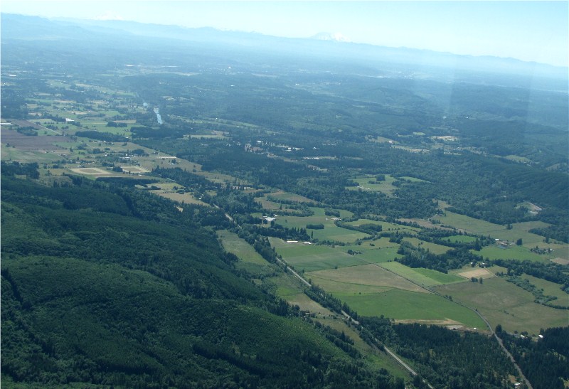
Deep valley.
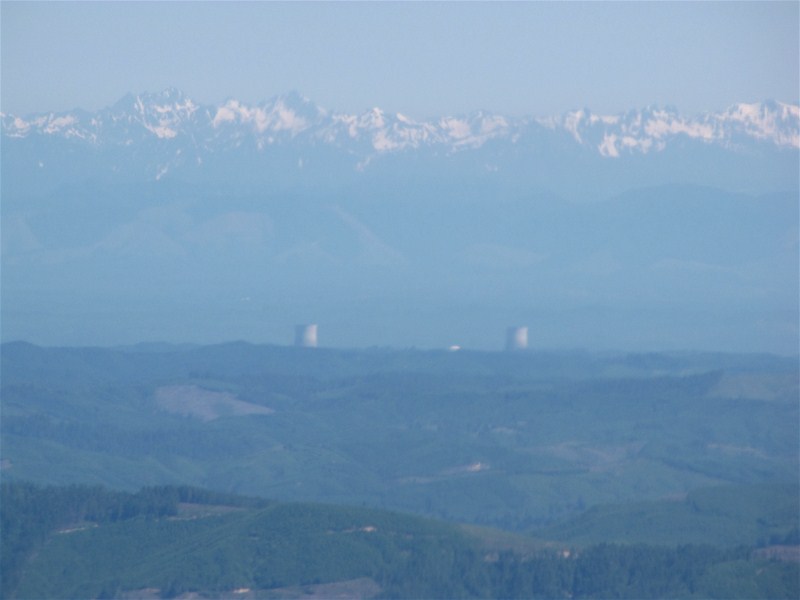
The Satsop cooling towers to the north.
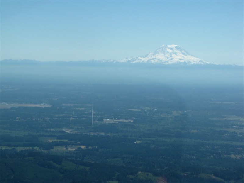
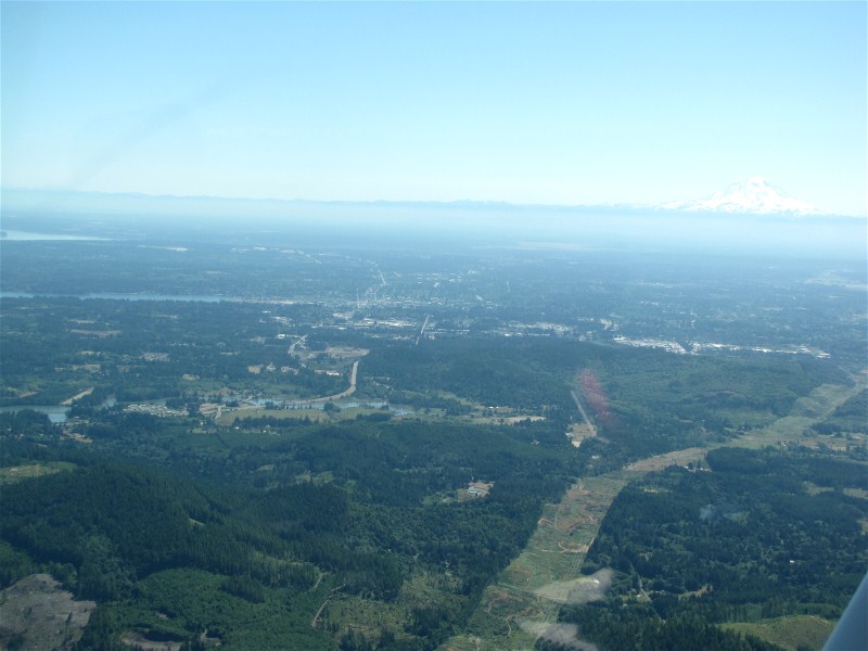
Mount Rainier is now visible.
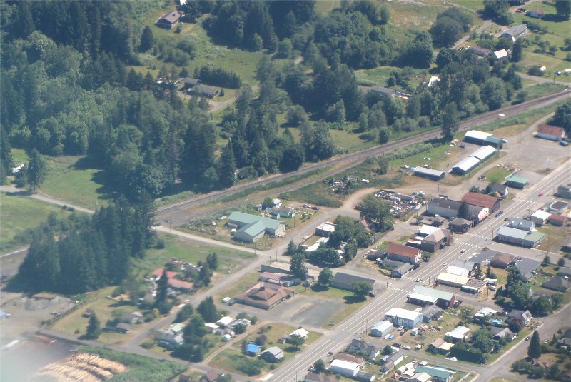
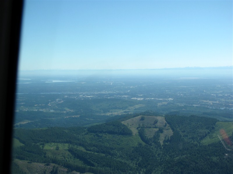
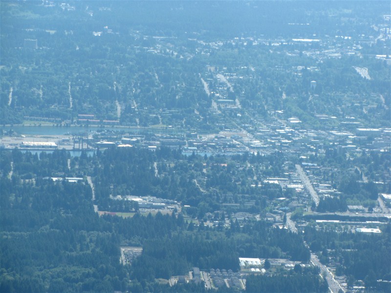
One of the towns below us.
Looking east towards Mount Rainier.
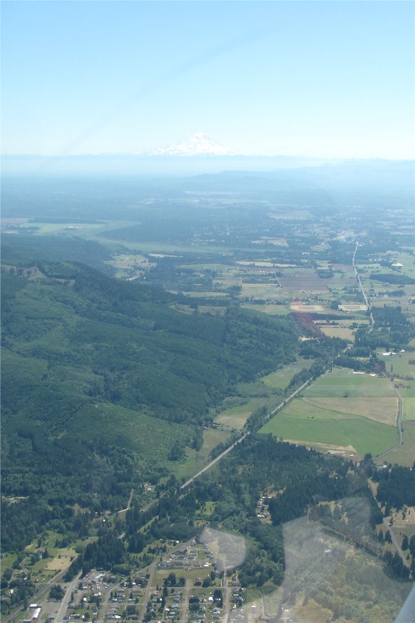
US12 below.
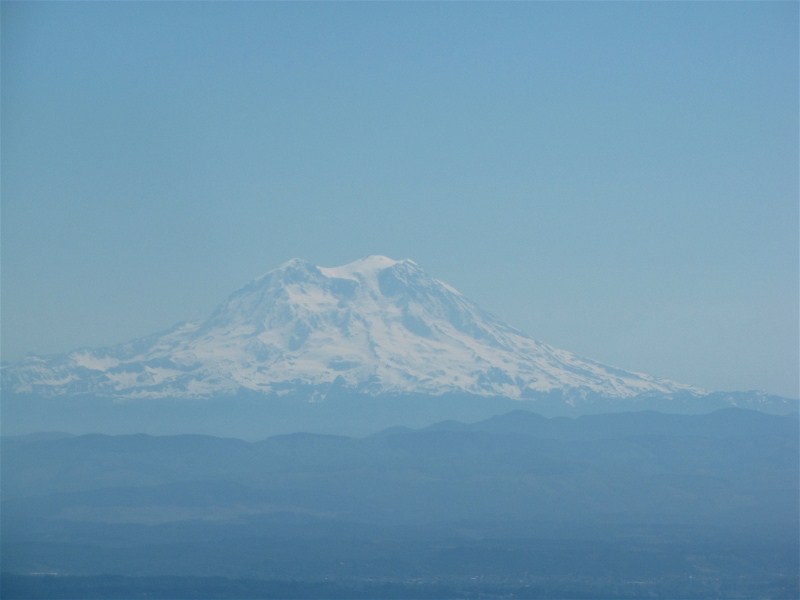
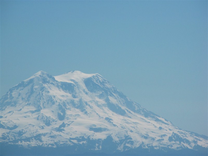
Telephoto of Mount Rainier showing the three peaks.
Mount Saint Helens showing the area that blew out on May 18, 1980.
Mount Adams, which travelers coming from the east often mistook for Mount Rainier.
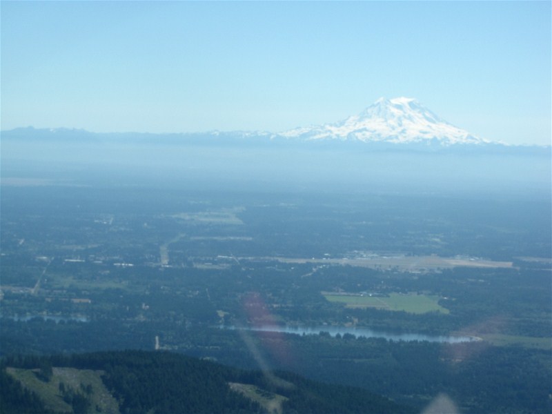
Tumwater with Mount Rainier in the background.
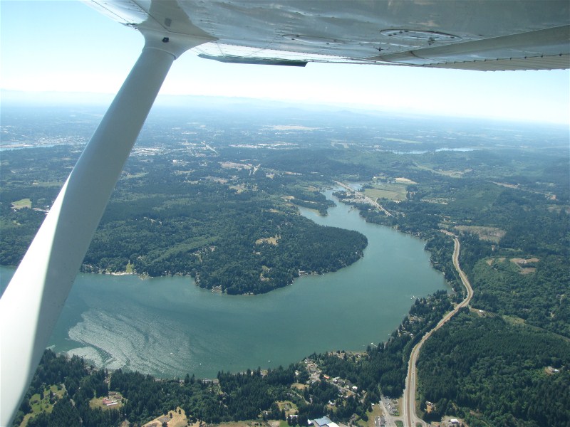
We think that is Black Lake by Tumwater in the foreground.
Puget Sound just coming in view to the north (left).
Olympia, Bill's hometown.
More Olympia.
Mudd Bay, just west of Olympia, at high tide.
Back Home Back to 2011 Back to Ilwaco Adventures Part 2 Part 3 Part 4 Part 5